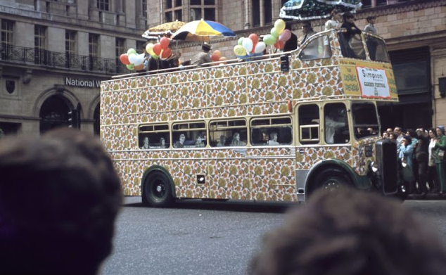
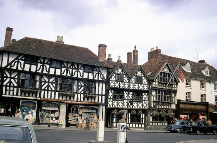
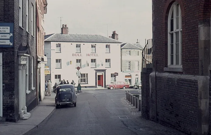
Camden Town, often shortened to Camden, is an inner city district of northwest London, 2.4 miles (3.9 km) north of the centre of London. It is one of the 35 major centres identified in the London Plan.
Laid out as a residential district from 1791 and originally part of the manor of Kentish Town and the parish of St Pancras, London, Camden Town became an important location during the early development of the railways, which reinforced its position on the London canal network. The area's industrial economic base has been replaced by service industries such as retail, tourism and entertainment. The area now hosts street markets and music venues which are strongly associated with alternative culture.
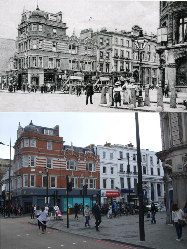
Take a look at these incredible 'then and now' photos from Warsaw1948 to see what street scenes of Camden area has changed through the years.
|
| Brittania pub, 1904 vs 2013 |
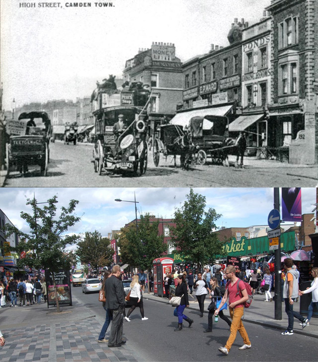 |
| Camden High Street and Buck pub, 1904 vs 2013 |
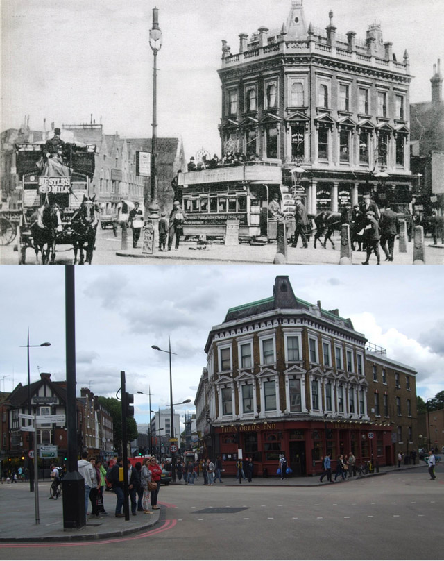 |
| Mother Redcap (now World's End), 1904 vs 2013 |
 |
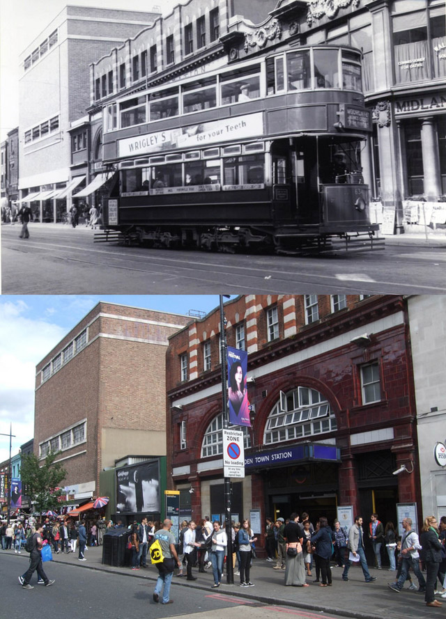
| The tube station entrance in Camden High Street, 1937 vs 2011 |
 |
| Camden High Street and station 1938 vs 2013 |
 |
| Camden High Street, corner of Greenland Road, 1938 vs 2013 |
 |
| Camden Road 1938 vs 2013 |
 |
| Parkway in the 1930s vs 2013 |
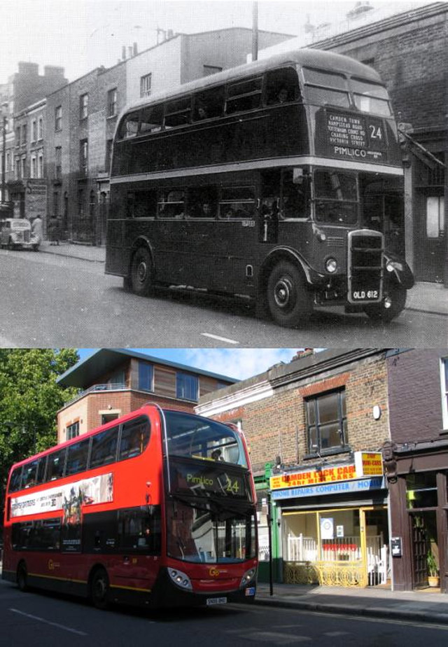 |
| A bus on Ferdinand Street approaching the junction with Chalk Farm Road, 1950s vs 2011 |
 |
| Buck Street, running between Kentish Town Road and Camden High Street, 1950s vs 2011 |
 |
| Buses from Chalk Farm Road into Ferdinand Street, 1950s vs 2011 |
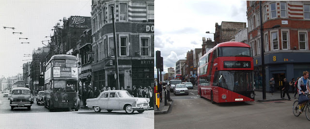 |
| Camden High Street & Parkway, 1950s vs 2013 |
 |
| Camden High Street at the junction of Parkway, Camden Road and the tube station, 1957 vs 2011 |
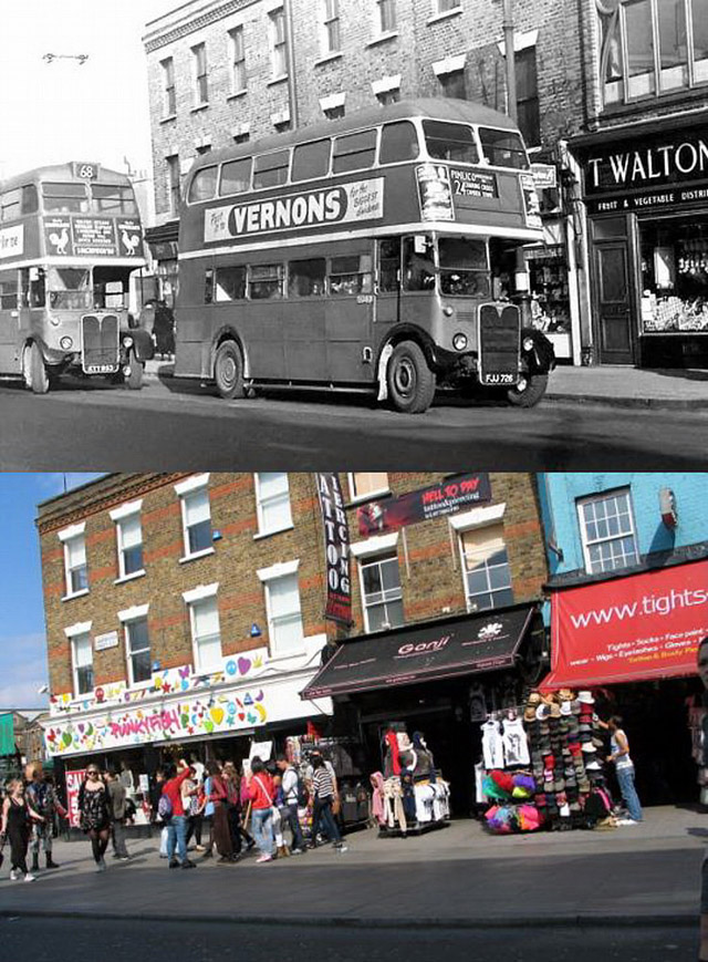 |
| Camden High Street north of the tube station, 1950s vs 2011 |
 |
| Camden Road station looking towards Camden Town with Royal College Street running across the junction right and left, 1950s vs 2011 |
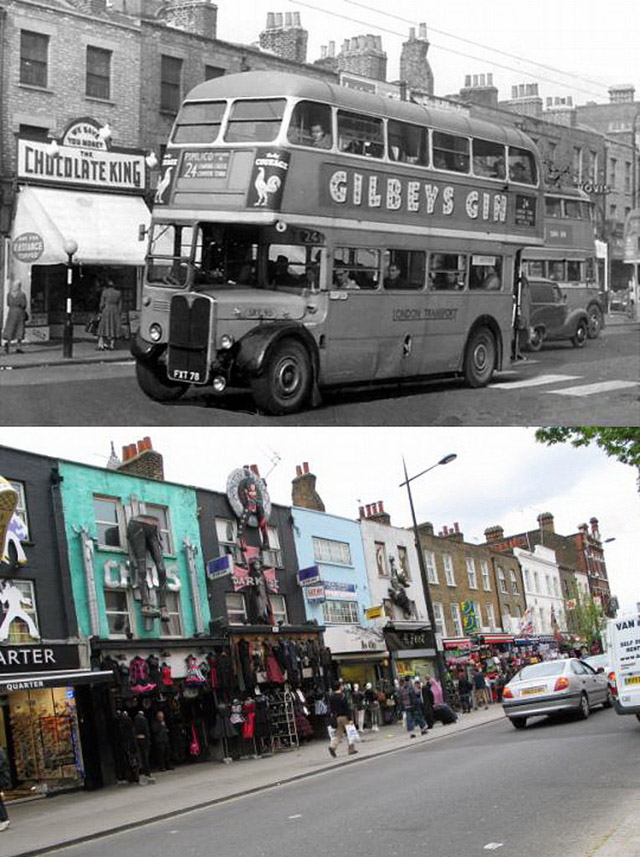 |
| Camden Town then and now, 1950s vs 2011 |
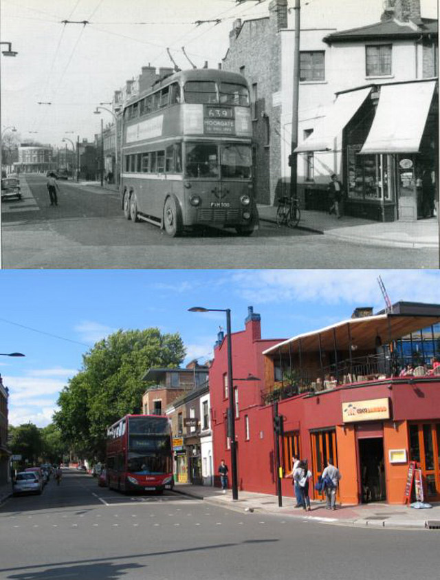 |
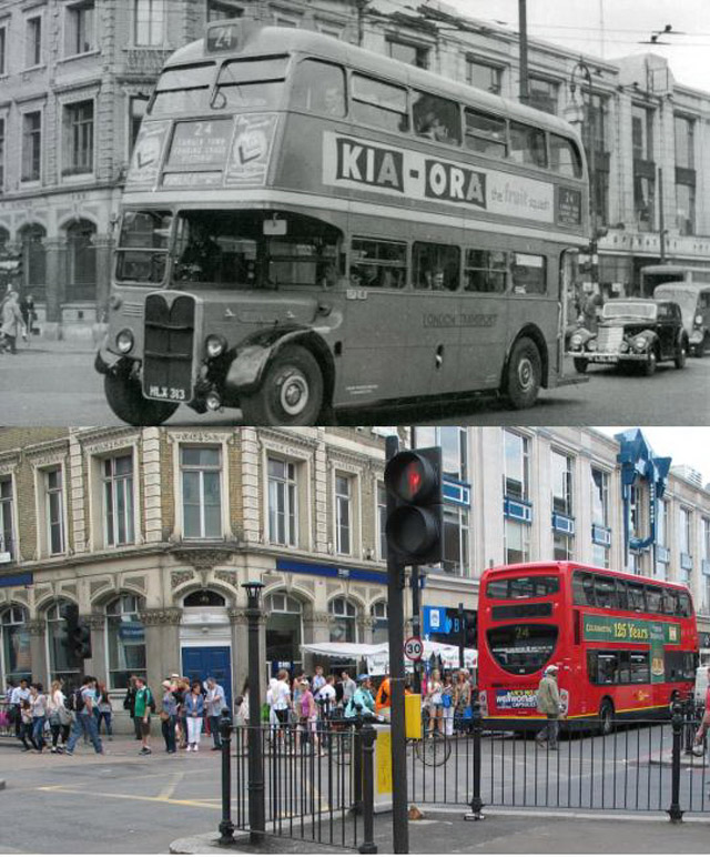
| Corner of Chalk Farm Road and Ferdinand Street, 1950s vs 2011 |
 |
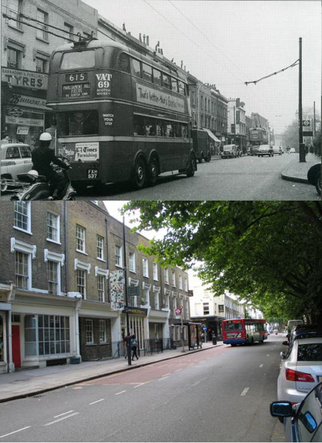
| Main junction at Camden Town, 1950s vs 2011 |
 |
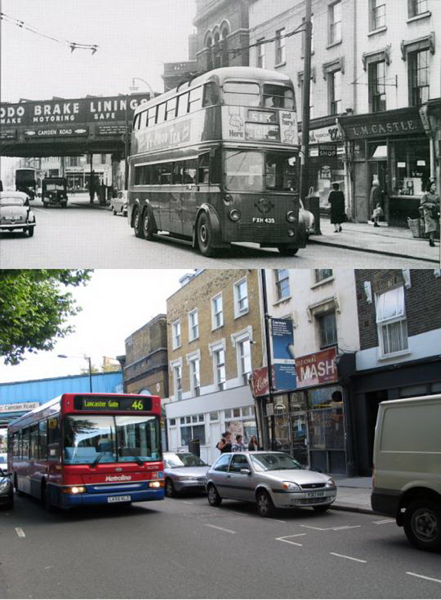
| Royal College Street looking north to Kentish Town, 1950s vs 2011 |
 |
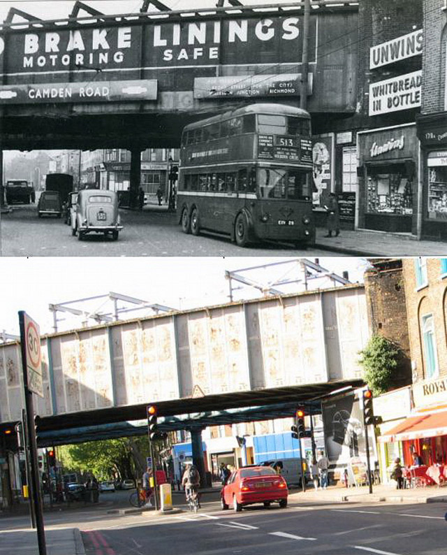
| Royal College Street, 1950s vs 2011 |
 |
| Royal College Street, late 1950s vs 2011 |
 |
| The corner of Camden High Street and Delancey Street, 1950s vs 2011 |

|
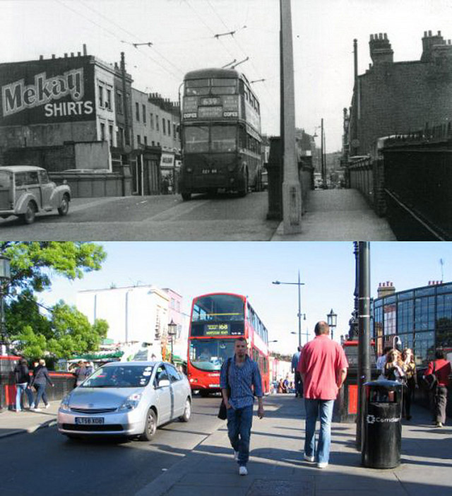
| The Grand Union Canal bridge at Camden Town looking north, 1950s vs 2011 |
|
| The Grand Union Canal bridge at Camden Town looking south, 1950s vs 2011 |

|
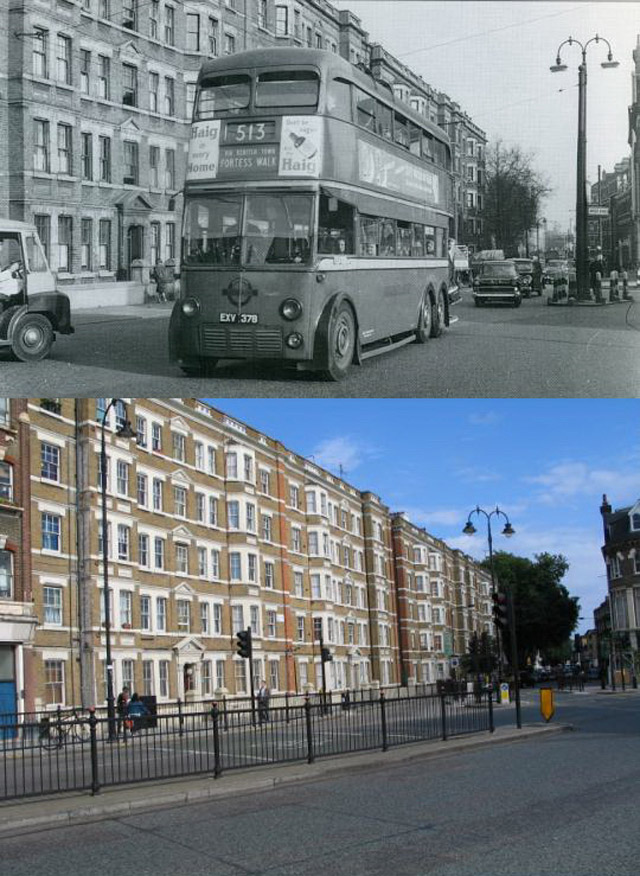
| The junction at Camden Road station, 1950s vs 2011 |
 |
| The junction of Royal College Street with Kentish Town Road looking south, 1950s vs 2011 |
|
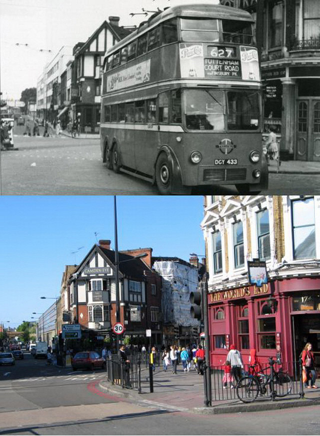
| The Mother Red Cap (now The World's End) and the Halfway House (now called Camden Eye), 1950s vs 2011 |

